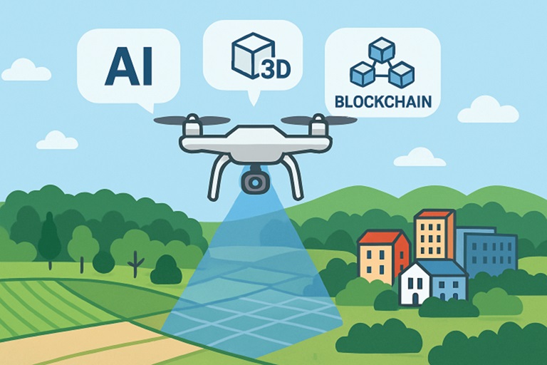
As we approach 2025, land mapping technology is undergoing a period of rapid evolution, driven by significant advances in artificial intelligence, aerial data collection, and data security. These innovations are redefining how surveyors, developers, and policymakers capture, process, and analyze terrestrial data. Whether in infrastructure development, environmental monitoring, or land governance, enhanced mapping solutions play a crucial role in shaping smart growth strategies. Understanding exact property lines is central to these applications, ensuring accuracy in everything from urban boundary delineation to resource management.
Cutting-edge platforms now offer detailed and interactive visualization, reducing errors and increasing efficiency while making land information accessible to non-experts. From AI, machine learning, and drone tech in rough terrain, professionals produce high-fidelity maps quickly. This fosters collaboration among specialists and empowers communities in land decisions. Industry leaders invest in end-to-end systems that streamline workflows and respond to regulatory and environmental needs. The convergence of mapping tech with cloud computing helps organizations meet transparency, security, and compliance standards, making land data reliable for policymaking and projects in real estate, resource management, and disaster response. As traditional surveying and digital analysis merge, cross-disciplinary solutions emerge. Clear access to land data, crucial in government and conservation projects, is now easier, faster, and user-friendly. Major publications like National Geographic highlight drone technology’s transformative role in modern surveying.

AI Integration in Land Mapping
AI is redefining the capabilities of land mapping by introducing automation and advanced analytics at every stage of the process. Deep learning models, such as convolutional neural networks, scan and interpret vast repositories of satellite imagery in minutes, producing land cover classifications with precision that far exceeds manual interpretation. These AI-driven techniques are crucial for monitoring urban expansion and shifts in natural habitats. For example, by applying state-of-the-art segmentation algorithms, surveyors can detect subtle changes in landscape—such as the encroachment of built-up areas into green spaces—helping planners and municipalities react proactively.
Recent research has shown that AI can now distinguish between diverse land cover types, including residential, agricultural, and forested areas, even at resolutions as fine as 10 meters. The resulting maps allow for more accurate land use planning, environmental impact assessments, and compliance management. Such capabilities also facilitate global projects, like quantifying deforestation rates in remote regions or mapping urban slums for disaster risk reduction.
Drone Technology Enhancing Surveys
Unmanned aerial vehicles (UAVs) have revolutionized the speed and fidelity of field data collection in land mapping. Beyond simply capturing high-resolution images, today’s drones are equipped with multispectral and LiDAR sensors that generate three-dimensional terrain models, delivering centimeter-level accuracy. This airborne vantage point enables surveyors to cover extensive or hazardous territories, such as forested mountains or floodplains, rapidly and safely, thereby reducing traditional surveying costs and timelines.
Industries such as agriculture, real estate, construction, and disaster response are leveraging drone data to optimize resource usage, track environmental degradation, and validate legal boundaries. The billions invested in drone-based mapping solutions point to their growing indispensability, as cited by mainstream sources such as Forbes. The evolution of autonomous flying and edge computing means that drone-derived data is more actionable and timely than ever before.
GIS and 3D Mapping Advancements
Advances in Geographic Information Systems (GIS) now empower organizations to manage, layer, and visualize massive datasets with ease. Surveyors and planners can overlay property lines, zoning regulations, infrastructure layouts, and environmental features onto interactive digital maps. These platforms simplify the detection of conflicts, optimize land use, and facilitate the communication of findings to stakeholders—often through web-based, shareable dashboards.
Recent progress in 3D mapping provides additional value by letting users virtually navigate modeled environments from any angle. This spatial context is indispensable for large infrastructure projects, where a miscalculation can be costly. With more affordable software and cloud storage, the accessibility of 3D mapping is increasing, enabling municipalities and private developers to evaluate topographical challenges better and simulate development scenarios.
Blockchain for Data Security
Secure management of land records and mapping outputs is a recurring challenge—one that blockchain technology directly addresses. By offering tamper-evident ledgers, blockchain ensures that documents, such as survey results or property documentation, are unalterable after entry. This is critical in environments where land disputes or fraudulent modifications are common. Additionally, blockchain-integrated mapping systems support transparent supply chains and project tracking, which minimizes the risk of misreported data or disputes over project deliverables.
As governments and businesses digitize their land registries, blockchain is increasingly viewed as the standard for trustworthy transactions and public confidence in geospatial data.
Augmented Reality in Field Applications
Field-based decision-making benefits dramatically from augmented reality (AR) and virtual reality (VR). These tools bring digital data directly into the surveyor’s field of view, overlaying proposed structures or utility lines onto the real world when viewed through smart devices. For planning teams, AR simplifies complex discussions by illustrating the impacts on the landscape in real-time, while VR offers virtual walkthroughs that aid in public engagement and scenario planning.
Environmental Monitoring and Sustainability
State-of-the-art mapping now enables high-frequency monitoring of land cover changes, which is crucial for analyzing trends such as deforestation or agricultural expansion. Although satellite systems have historically struggled to distinguish between similar vegetation types, new data analytics platforms utilize temporal and spectral signatures to differentiate, for example, between orchards and native forests over time. Tools like these are helping conservationists and land managers make more informed decisions regarding ecosystem management and sustainable land use.
Future Outlook
The convergence of AI, drone technology, GIS, blockchain, and AR/VR in land mapping is ushering in an era of unprecedented possibilities. As these trends continue, mapping processes will become faster, more secure, and even more integral to urban planning, environmental stewardship, and infrastructure development in the years ahead.


